
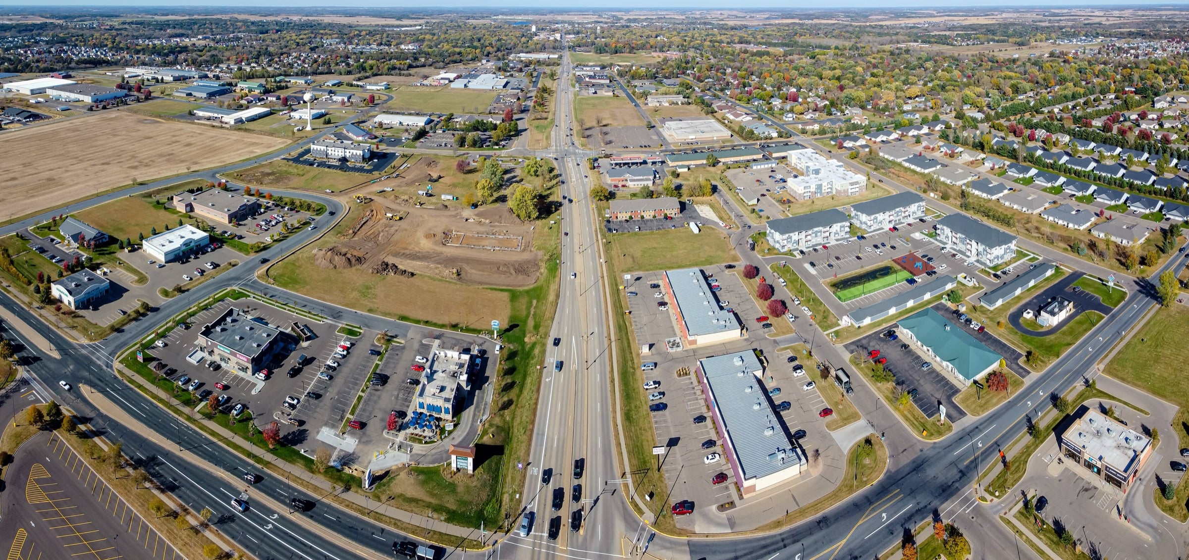
Property in New Richmond
Residential
The West Side Historic District, listed on the National Register in 1988, takes in 18 homes on West First and West Second streets, built mostly between 1870 and 1911. Neighborhoods with traditional design lie east and west of downtown along the south edge of the Willow River, and Paperjack Creek, lined in part by a multi-use trail, runs along the south side of town.
Land and acreage
The city has about 6,200 acres within its limits, and its comprehensive plan counts roughly 2,400 acres as undeveloped, mostly agricultural land at the edge of the city. An airport approach zoning overlay, enforced by the city, reaches up to three miles from the airport boundary and limits building height and land use.
Commercial
The city markets its Business & Technical Park, with a land sale policy adopted in 2024, and runs a downtown design assistance program for building owners in the downtown district.
Local notes
Regional airport
New Richmond Regional Airport is owned by the city and has a primary asphalt runway of about 5,500 feet.
School district
New Richmond is served by the School District of New Richmond.
Getting around
The Twin Cities are about 45 minutes away by car without traffic, roughly 37 miles.
One person from the first showing to the closing table. I'm with you the whole way.
Licensed in both Wisconsin and Minnesota. I work the whole St. Croix Valley and I'm happy to travel.